Map Tool
ECO offers an online tool to create graphical maps of CEPT countries.
Introduction
The SVG Map Editor is a browser-based tool for creating annotated, colour-coded maps of countries (or other SVG geometries) for inclusion in reports and documentation. Its core workflow: load an SVG map, click individual regions to assign them a colour and a text label, give each colour a defined meaning that drives an automatic legend, add a title, and export the finished graphic as a PNG or JPG at a chosen pixel size.
Key capabilities.
| Area | What it does |
| SVG ingest | Upload an SVG, or load one automatically from the `files/` folder via `?file=` URL parameter or `settings.json` default |
| Object colouring & labelling | Click any shape (or its group/class) to set an inline fill colour and per-object label text; groups spanning multiple islands/paths are treated as one unit |
| Legend | Each colour gets a "meaning" in the right panel; a legend card (swatch + meaning) is rendered on the graphic in a chosen corner, plus a sidebar legend; both appear in exports |
| Title | Configurable title text, corner placement (4 options), and size (S/M/L), rendered on the map and included in exports |
| Export | PNG or JPG at specified width/height (up to 16384 px), via canvas rendering with the Inter font embedded |
| Persistence | Download/upload a versioned JSON settings file mapping element IDs to colours/labels, enabling round-trip reuse and sharing of map configurations |
| View | Zoom (10–1000%) with fit-to-screen, pan via scrollbars, keyboard shortcuts |
Technology.
Pure HTML/CSS/JavaScript with no build step — Tailwind CSS (Play CDN) for styling and SVG.js v3 for live SVG DOM manipulation. Configuration lives in `settings.json` (title, description, default file, help link). Any static HTTP server is sufficient to run it.
Target use case.
Rapid production of specialised country maps with consistent colour legends for internal reports and client documents — replacing manual graphic work in Illustrator/Photoshop with a repeatable, JSON-driven workflow.
---
Map Files
ECO has 3 different map files, described below:
Map files are basic SVG files, elements are connected based on class name - this assures that all parts (mainland and islands) are connected in the edit tool.
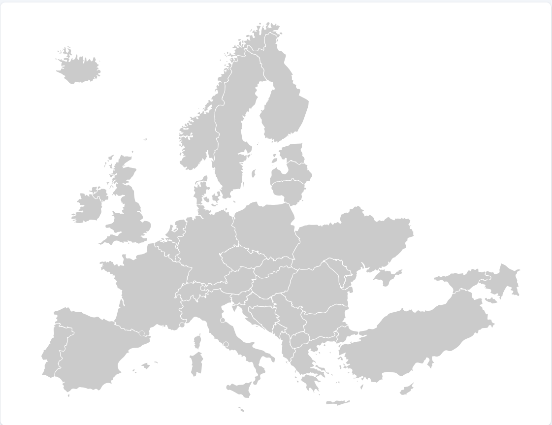
Generic map - no designation (default map)
This map has no country designations. CEPT_Map_Blank.svg
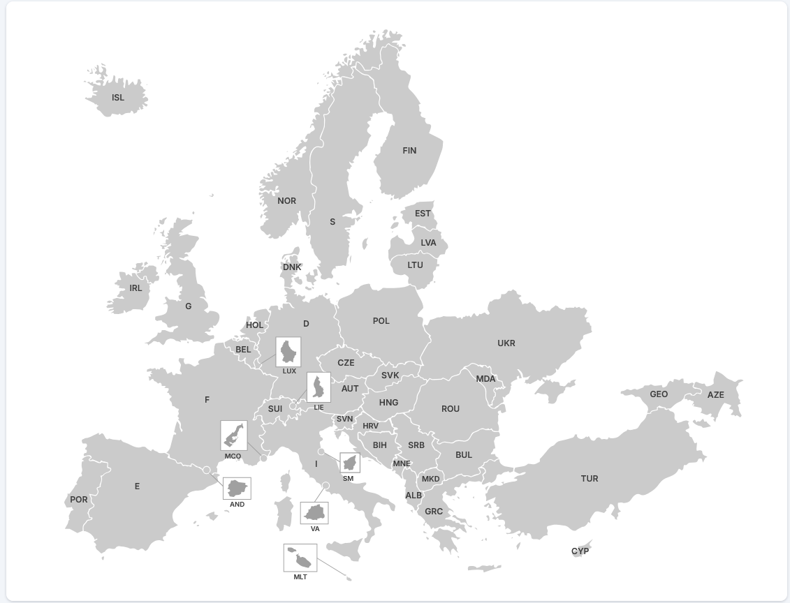
Generic map - ITU country designation
In this map the individual countries are designated by the ITU country code.
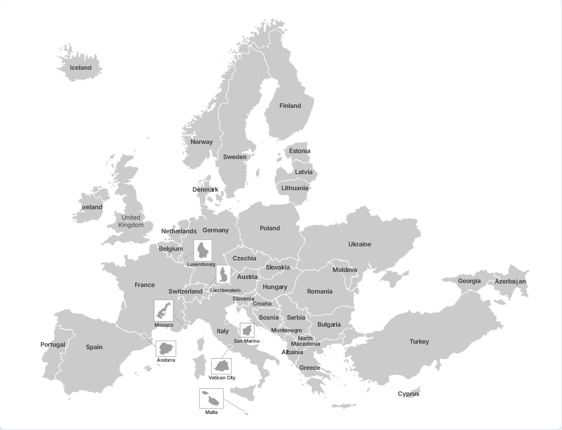
Generic map - full country names
In this map , the individual countries are designated by their full name.